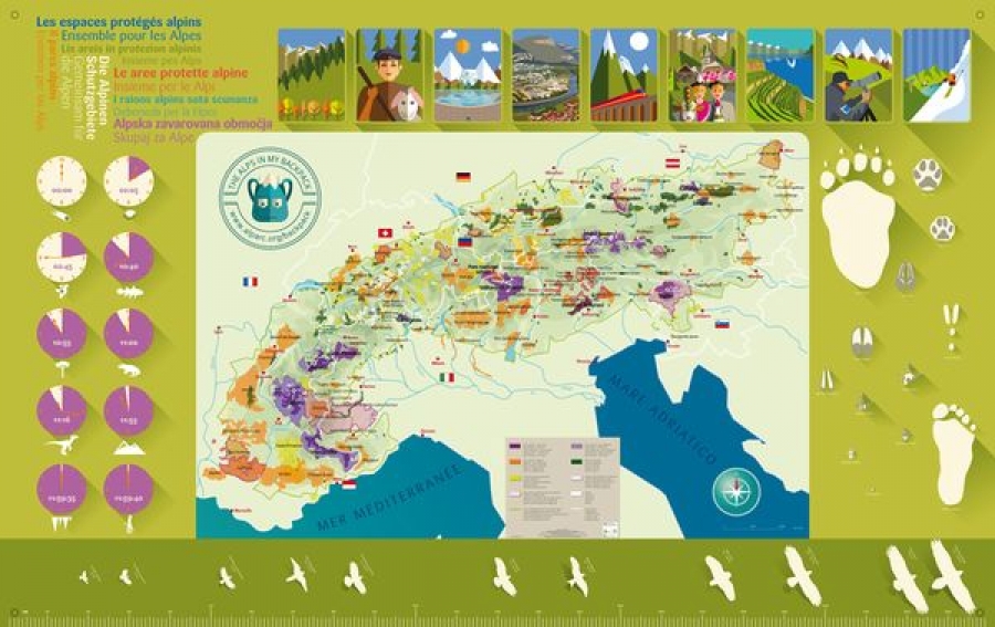
"The Alps in my backpack” a multifunctional pedagogical tool for activities linked to the Alps, mountain heritage and protected alpine areas is available for you!
“The Alps in my backpack” is a big sheet, measuring 240 x 150 cm and printed on a durable fabric. It shows the map of the Alps and all their principal protected nature reserves. Moreover, it presents the diversity of Alpine landscapes, emblematic species, the creation of the Alps, cultural and linguistic diversity, and current issues in the Alpine territory.
The tool has been created collectively by members of the “Mountain environmental education in Alpine protected areas” working group, which had long wanted to benefit from a simple and practical shared tool during their activities, for addressing alpine issues in their global dimension, beyond the usual boundaries.
As part of the 2017 edition of “Youth at the top”, rangers, animators and educators will be invited to use(s) the “Alps in my backpack” tool.
Please notice that 3 copies of the “Alps in my backpack" tool are available for free for all the ALPARC members.
To obtain one or more copies of this tool, please contact info [at] alparc.org
Coordination: ALPARC
Concept and content: ALPARC and Mountain Environmental Education working group
Cartographic data: SIG ALPARC 2016
Graphic design: Régis Ferré
Co-financed by the German Ministry for the Environment and the Principality of Monaco